"It was planned by the army"
|
"The Path of the Wall reflects only security considerations. It was planned by the army"
|
In 1949, a group of Israeli and Jordanian officers drafted the armistice line between Israel
and the West Bank. The objective was to draw a separation line based on the position of both
armies, existing villages and towns, topographical lines, etc.
An important factor in the discussions was the Israeli desire to widen the "Narrow waist of
Israel"
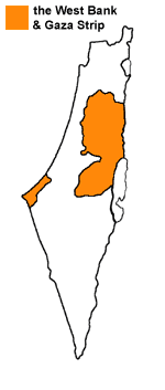
The 290 Km long armistice line lasted till the Israeli occupation of 1967,
and is known as the "Green Line". View a comparison Chart.
The path of the Wall is considerably inferior from the standpoint of security:
- The Wall planned by Sharon is approx. 750 Km long, nearly 3 times longer than the Green Line.
Even a layman in security matters can see that the longer the Wall, the more vulnerable it is for penetration. This is only the Western section. The plan includes an Eastern Wall, West of the Jordan valley.
Together with this section, which will be about 200 Km long, the complex will total approx. 1,000 Kilometres
of Walls, fences, trenches, barbed wire, patrol routes and sophisticated electronic
devices.
- The excessive length means tripling the number of soldiers needed to protect and maintain the Wall, and the numerous electronic devices it contains.
- The longer the Wall and all its surveillance systems, the more false alarms and malfunctioning should be expected.
- The Wall runs through the villages and towns of a densely populated area, meaning constant friction with a hostile population.
- In order to allow any sort of possible life, gates were designed in the Wall.
Although the gates are usually closed, the passage of Palestinians jeopardises its effectiveness.
- The path of the Wall leaves tens of thousands of Palestinians on the "Israeli" side.
|